
Salen and Central Mull
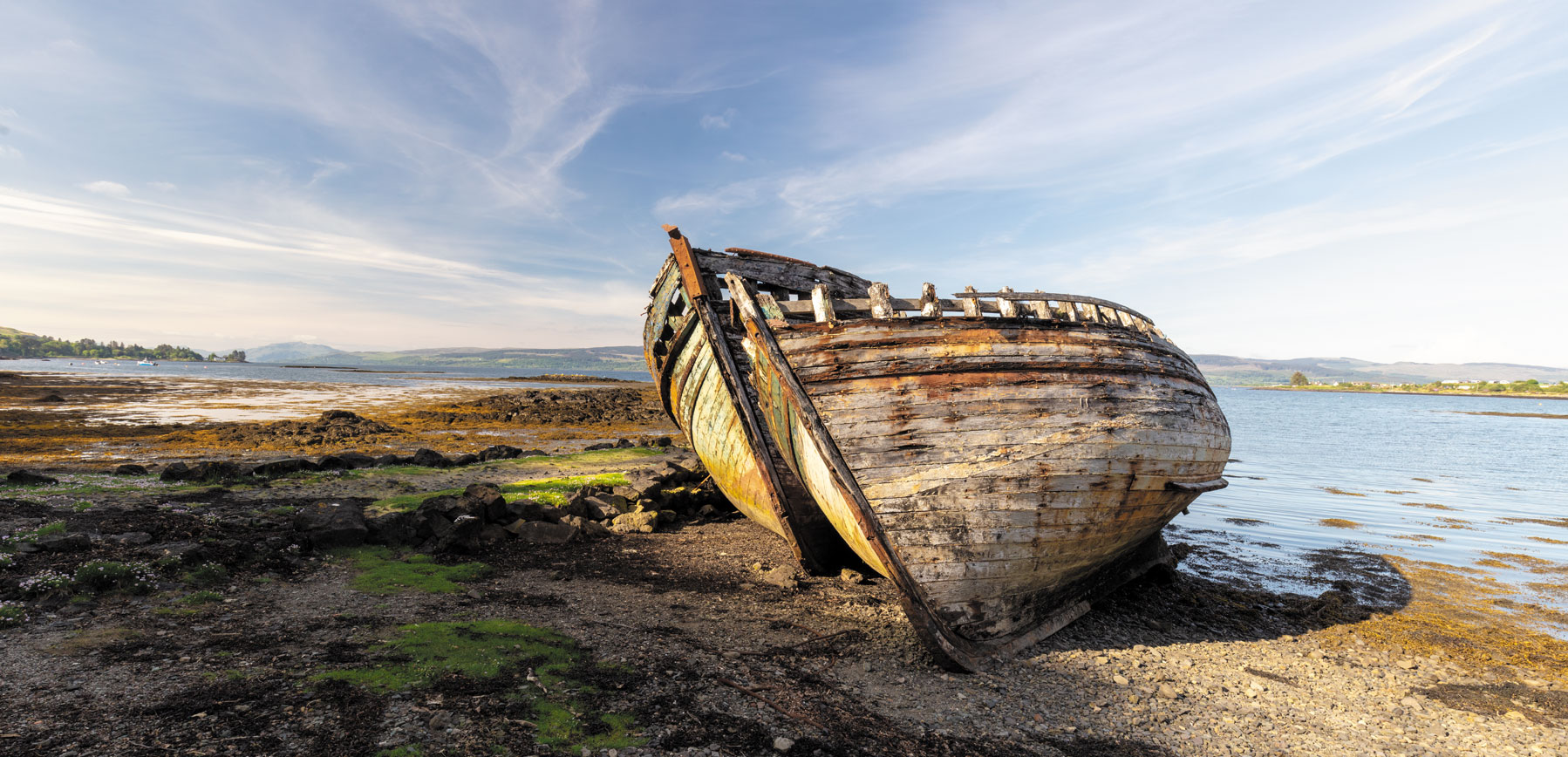
Salen boats, Isle of Mull
Central Mull includes the village of Salen, Mull’s tallest peaks, and the wilds of the Ardmeanach Peninsula. Salen was established in 1808 by Lachlan Macquarie – Laird of Gruline and Ulva. Halfway between Tobermory and Craignure at the island’s narrowest point, Macquarie recognised Salen’s potential as a port and transport hub. Today it is an excellent central location from which to explore the island but little used as a port. Having returned from Australia, Macquarie died in 1824 and was interred in the family mausoleum in nearby Gruline.
Just south of Gruline is the small settlement of Knock and Loch Ba, Mull’s second-largest body of freshwater. Fed by the Lussa River winding its way down Glen Cannel, the loch’s tannin-dark waters flow north into the River Ba and on to Loch na Keal. To the east and rising some 966 metres from the shores of Loch na Keal is the mighty Ben More, the highest peak in the Western Isles. The remnant of a 60 million-year-old volcano, it is Beinn Mhòr in Gaelic – meaning Great Mountain. On a clear day, the challenging climb to the top is rewarded with epic views of the surrounding islands and the mainland.
The Ardmeanach Peninsula is bound by Loch na Keal to the north and Loch Scridain to its south. Close to its northern shore are the Isle of Eorsa and the privately owned Inch Kenneth. The latter’s curious name derives from St Cannoch, a follower of St Columba – inch being a Gaelic term for island. Even by local standards Ardmeanach is considered rugged, its north-western extent known simply as The Wilderness. Whilst today the area is depopulated, Bronze Age burial cairns, Iron Age ruins, and the remains of cleared villages tell of a time when this wasn’t so. The western end of the peninsula has been designated a National Scenic and Environmentally Sensitive Area, within which is the famous Fossil Tree – a 12 metre tall impression of a tree trunk set into a columnar basalt cliff face.